
File:2011-P08-Zuid-Holland-b54.jpg
Size of this preview: 693 × 600 pixels. Other resolutions: 277 × 240 pixels | 555 × 480 pixels | 888 × 768 pixels | 1,184 × 1,024 pixels | 1,439 × 1,245 pixels.
Original file (1,439 × 1,245 pixels, file size: 1.1 MB, MIME type: image/jpeg)
| This is a file from the Wikimedia Commons. Information from its description page there is shown below. Commons is a freely licensed media file repository. You can help. |
Summary
| Description |
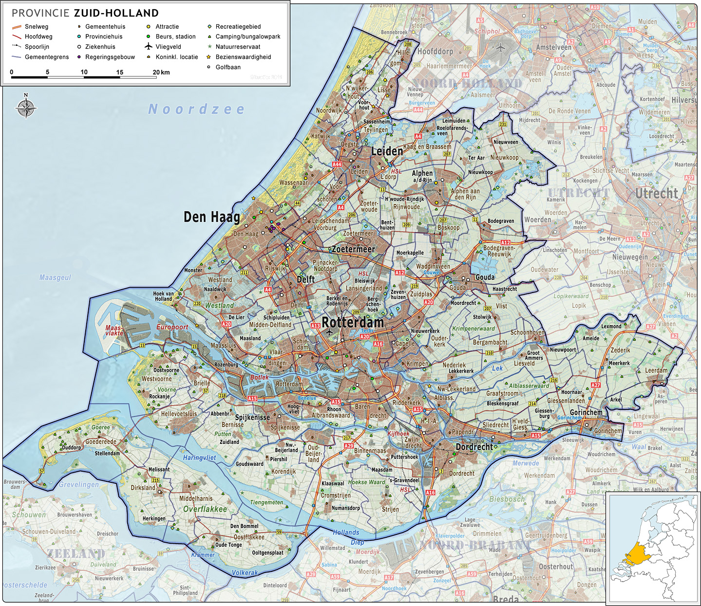
Nederlands: Provincie Zuid-Holland, met indeling van gemeenten (2011) en impressie van het landschap.
Door Jan-Willem van Aalst, samengesteld uit publiek beschikbare geo-data:
|
| Date | |
| Source | Own work |
| Author | Janwillemvanaalst |
| Other versions | 2009-Basisbeeld-Provincie08-Zuid-Holland.jpg; 2010-P08-Zuid-Holland-basisbeeld.jpg |
Licensing
I, the copyright holder of this work, hereby publish it under the following license:
This file is licensed under the Creative Commons Attribution-Share Alike 3.0 Unported license.
- You are free:
- to share – to copy, distribute and transmit the work
- to remix – to adapt the work
- Under the following conditions:
- attribution – You must give appropriate credit, provide a link to the license, and indicate if changes were made. You may do so in any reasonable manner, but not in any way that suggests the licensor endorses you or your use.
- share alike – If you remix, transform, or build upon the material, you must distribute your contributions under the same or compatible license as the original.
File history
Click on a date/time to view the file as it appeared at that time.
| Date/Time | Thumbnail | Dimensions | User | Comment | |
|---|---|---|---|---|---|
| current | 07:01, 15 May 2011 | | 1,439 × 1,245 (1.1 MB) | Janwillemvanaalst | Revision of sea and coastline; updated infrastructure (local roads) and points of interest (new hospitals a.o.) |
| 07:15, 24 April 2011 |  | 1,367 × 1,183 (1.01 MB) | Janwillemvanaalst | Updates of names, recreation locations, removed some polyclinical locations | |
| 17:00, 9 March 2011 |  | 1,363 × 1,183 (1,021 KB) | Janwillemvanaalst | Added public health services; added regional road labels (N-roads) | |
| 19:08, 23 February 2011 |  | 1,384 × 1,204 (1,015 KB) | Janwillemvanaalst | Added local airports; Added Golf courses; Added major city parks. | |
| 08:48, 13 February 2011 |  | 1,363 × 1,183 (994 KB) | Janwillemvanaalst | Various map updates and some omissions corrected. Added various tourist locations. | |
| 11:19, 31 December 2010 |  | 1,291 × 1,121 (965 KB) | Janwillemvanaalst | {{Information |Description={{nl|1=Provincie Zuid-Holland, met indeling van gemeenten (2011) en impressie van het landschap. Door Jan-Willem van Aalst, samengesteld uit publiek beschikbare geo-data: * Referentie-ondergrond (kustlijn, steden, wegen) geraste |
File usage
No pages on the English Wikipedia use this file (pages on other projects are not listed).
Global file usage
The following other wikis use this file:
- Usage on ceb.wikipedia.org
- Usage on de.wikivoyage.org
- Usage on zh-two.iwiki.icu