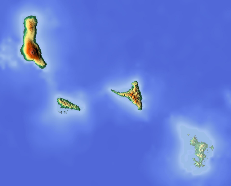
File:Comoros location map Topographic.png
Appearance

Size of this preview: 745 × 600 pixels. Other resolutions: 298 × 240 pixels | 596 × 480 pixels | 954 × 768 pixels | 1,272 × 1,024 pixels | 1,835 × 1,477 pixels.
Original file (1,835 × 1,477 pixels, file size: 684 KB, MIME type: image/png)
File history
Click on a date/time to view the file as it appeared at that time.
| Date/Time | Thumbnail | Dimensions | User | Comment | |
|---|---|---|---|---|---|
| current | 11:14, 12 June 2018 |  | 1,835 × 1,477 (684 KB) | Larske | Cropped to have the same longitude and latitude limits as the file Comoros location map.svg |
| 18:50, 15 June 2012 |  | 2,000 × 1,589 (705 KB) | Dr Brains |
File usage
The following 7 pages use this file:
Global file usage
The following other wikis use this file:
- Usage on ar.wikipedia.org
- Usage on ast.wikipedia.org
- Usage on bg.wikipedia.org
- Usage on bn.wikipedia.org
- Usage on bs.wikipedia.org
- Usage on ca.wikipedia.org
- Usage on ceb.wikipedia.org
- Usage on el.wikipedia.org
- Usage on fa.wikipedia.org
- Usage on fr.wikipedia.org
- Anjouan
- Mohéli
- Karthala
- Grande Comore
- Combat d'Anjouan
- Parc marin de Mohéli
- Modèle:Géolocalisation/Comores
- La Grille
- Projet:Cartographie/Géolocalisation/Maintenance/Images des pays
- Lac Dzialandzé
- Modèle:Géolocalisation/Comores/Documentation
- Lac Niamawi
- Mont Ntringui
- Dar-Salama Mbadjini
- Fani Maoré
- Moindzaza Mboini
- Usage on he.wikipedia.org
- Usage on hr.wikipedia.org
- Usage on hsb.wikipedia.org
- Usage on hy.wikipedia.org
- Usage on ja-two.iwiki.icu
- Usage on kn.wikipedia.org
- Usage on ko.wikipedia.org
- Usage on lld.wikipedia.org
- Usage on lt.wikipedia.org
- Usage on mdf.wikipedia.org
- Usage on mg.wikipedia.org
- Usage on ms.wikipedia.org
- Usage on nl.wikipedia.org
View more global usage of this file.

