
File:Corby unparished area UK locator map.svg

Size of this PNG preview of this SVG file: 687 × 600 pixels. Other resolutions: 275 × 240 pixels | 550 × 480 pixels | 880 × 768 pixels | 1,173 × 1,024 pixels | 2,346 × 2,048 pixels | 1,425 × 1,244 pixels.
Original file (SVG file, nominally 1,425 × 1,244 pixels, file size: 220 KB)
| This is a file from the Wikimedia Commons. Information from its description page there is shown below. Commons is a freely licensed media file repository. You can help. |
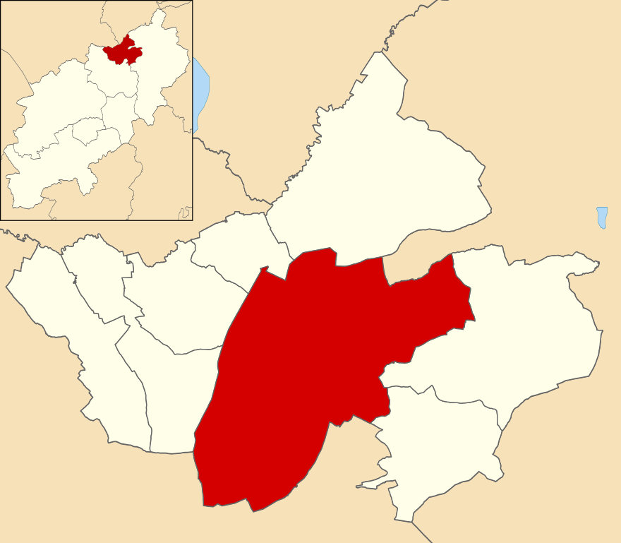
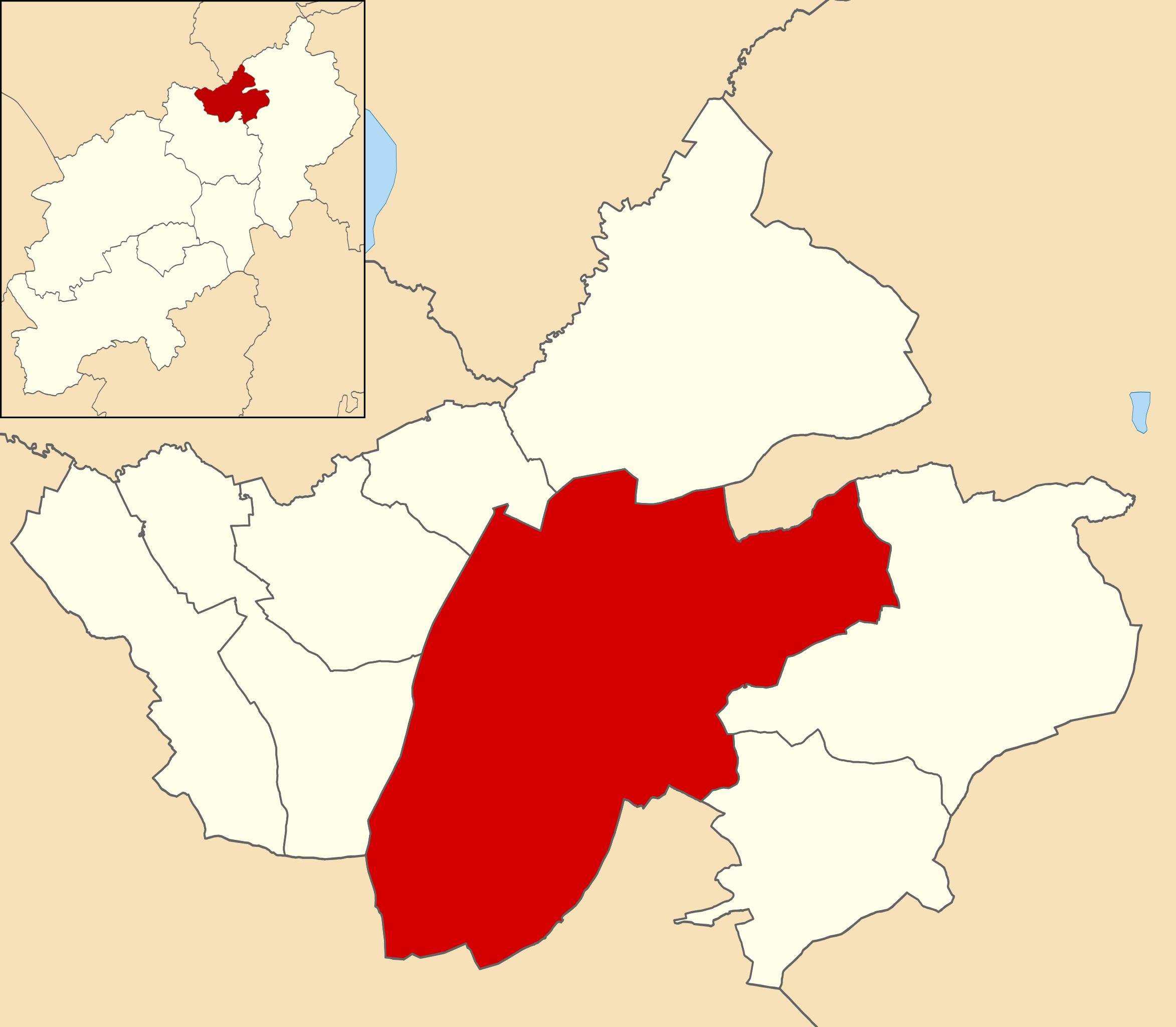
| Description | Map of Corby, Northamptonshire, UK with the unparished area highlighted. |
| Date | |
| Source |
|
| Author | Nilfanion, created using Ordnance Survey data |
| Permission (Reusing this file) |
This file is licensed under the Creative Commons Attribution-Share Alike 3.0 Unported license. Attribution: Contains Ordnance Survey data © Crown copyright and database right
|
File history
Click on a date/time to view the file as it appeared at that time.
| Date/Time | Thumbnail | Dimensions | User | Comment | |
|---|---|---|---|---|---|
| current | 11:30, 30 October 2015 | | 1,425 × 1,244 (220 KB) | Nilfanion | {{Information |Description=Map of Corby, Northamptonshire, UK with the unparished area highlighted. |Source=Ordnance Survey [https://www.ordnancesurvey.co.uk/opendatadownload/products.html OpenData]. *Coastline and administrative... |
File usage
The following pages on the English Wikipedia use this file (pages on other projects are not listed):
Global file usage
The following other wikis use this file: