
File:Lebanon location map.svg

Size of this PNG preview of this SVG file: 521 × 600 pixels. Other resolutions: 208 × 240 pixels | 417 × 480 pixels | 667 × 768 pixels | 889 × 1,024 pixels | 1,779 × 2,048 pixels | 992 × 1,142 pixels.
Original file (SVG file, nominally 992 × 1,142 pixels, file size: 219 KB)
| This is a file from the Wikimedia Commons. Information from its description page there is shown below. Commons is a freely licensed media file repository. You can help. |

|
The boundaries on this map show the de facto situation. This is just one of several different views on the subject (see COM:NPOV). |
Summary
| Description |
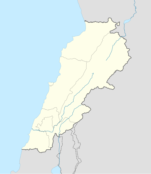
Deutsch: Positionskarte des Libanon
Quadratische Plattkarte, N-S-Streckung 115 %. Geographische Begrenzung der Karte:
English: Location map of Lebanon
Equirectangular projection, N/S stretching 115 %. Geographic limits of the map:
|
| Date | |
| Source |
own work, using
|
| Author | NordNordWest |
| Other versions | Derivative works of this file: Israel and surroundings location map.svg |

|
This map has been made or improved in the German Kartenwerkstatt (Map Lab). You can propose maps to improve as well.
|
Licensing
I, the copyright holder of this work, hereby publish it under the following licenses:

|
Permission is granted to copy, distribute and/or modify this document under the terms of the GNU Free Documentation License, Version 1.2 or any later version published by the Free Software Foundation; with no Invariant Sections, no Front-Cover Texts, and no Back-Cover Texts. A copy of the license is included in the section entitled GNU Free Documentation License. |
This file is licensed under the Creative Commons Attribution-Share Alike 3.0 Unported license.
- You are free:
- to share – to copy, distribute and transmit the work
- to remix – to adapt the work
- Under the following conditions:
- attribution – You must give appropriate credit, provide a link to the license, and indicate if changes were made. You may do so in any reasonable manner, but not in any way that suggests the licensor endorses you or your use.
- share alike – If you remix, transform, or build upon the material, you must distribute your contributions under the same or compatible license as the original.
You may select the license of your choice.
File history
Click on a date/time to view the file as it appeared at that time.
| Date/Time | Thumbnail | Dimensions | User | Comment | |
|---|---|---|---|---|---|
| current | 20:31, 22 August 2008 | | 992 × 1,142 (219 KB) | NordNordWest | |
| 20:08, 22 August 2008 |  | 992 × 1,141 (219 KB) | NordNordWest | {{Information |Description= {{de|Positionskarte des Libanon}} Quadratische Plattkarte, N-S-Streckung 115 %. Geographische Begrenzung der Karte: * N: 34.9° N * S: 32.8° N * W: 34.8° O * O: 36.9° O {{en|Location map of [[:en:Lebanon|Leba |
File usage
The following pages on the English Wikipedia use this file (pages on other projects are not listed):
Global file usage
The following other wikis use this file:
- Usage on af.wikipedia.org
- Usage on als.wikipedia.org
- Usage on an.wikipedia.org
- Usage on ar.wikipedia.org
- دير مار أنطونيوس قزحيا
- قالب:خريطة مواقع لبنان
- عرسال
- قائمة مواقع التراث العالمي في لبنان
- تفجيرات بلدة القاع اللبنانية 2016
- قرار مجلس الأمن التابع للأمم المتحدة رقم 490
- مجزرة حولا
- إمدادات المياه والصرف الصحي في لبنان
- دير سيدة اللويزة
- دير سيدة راس بعلبك
- دير رقاد السيدة حماطورة
- مار ميماس (دير)
- دير مار قبريانوس ويوستينا
- Usage on arz.wikipedia.org
- Usage on az.wikipedia.org
- Usage on ba.wikipedia.org
- Usage on be-tarask.wikipedia.org
- Usage on bg.wikipedia.org
- Usage on bn.wikipedia.org
- Usage on bs.wikipedia.org
- Usage on ca.wikipedia.org
- Usage on ceb.wikipedia.org
View more global usage of this file.