Aluniș, Cluj
Appearance
Aluniș | |
|---|---|
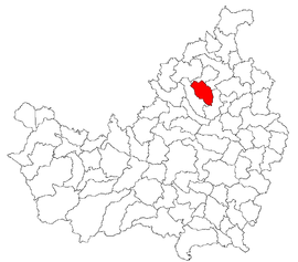
 Location in Cluj County | |
| Coordinates: 47°02′23″N 23°44′47″E / 47.03972°N 23.74639°E | |
| Country | Romania |
| County | Cluj |
| Established | 1247 |
| Subdivisions | Aluniș, Corneni, Ghirolt, Pruneni, Vale |
| Government | |
| • Mayor (2020–2024) | Mihai Sav[1] (PNL) |
Area | 56.53 km2 (21.83 sq mi) |
| Population (2021-12-01)[2] | 1,018 |
| • Density | 18/km2 (47/sq mi) |
| Time zone | EET/EEST (UTC+2/+3) |
| Postal code | 407030 |
| Area code | +40 x64[3] |
| Vehicle reg. | CJ |
| Website | www |
Aluniș (Hungarian: Kecsed; German: Pergelinsdorf) is a commune in Cluj County, Transylvania, Romania. It is composed of five villages: Aluniș, Corneni (Szilkerék), Ghirolt (Girolt), Pruneni (Kecsedszilvás) and Vale (Bánffytótfalu).
Demographics
[edit]According to the census from 2002 there was a total population of 1,403 people living in this commune. Of this population, 99% are ethnic Romanians, 0.92% are ethnic Hungarians and 0.07% ethnic Romani.[4]
References
[edit]- ^ "Results of the 2020 local elections". Central Electoral Bureau. Retrieved 11 June 2021.
- ^ "Populaţia rezidentă după grupa de vârstă, pe județe și municipii, orașe, comune, la 1 decembrie 2021" (XLS). National Institute of Statistics.
- ^ x is a digit indicating the operator: 2 for the former national operator, Romtelecom, and 3 for the other ground telephone networks
- ^ "Structura Etno-demografică a României". www.edrc.ro. Retrieved 2023-12-07.
- Atlasul localităţilor judeţului Cluj (Cluj County Localities Atlas), Suncart Publishing House, Cluj-Napoca, ISBN 973-86430-0-7


