Avoca River-Bottom Prairie
Tools
Actions
General
Print/export
In other projects
Appearance
From Wikipedia, the free encyclopedia
Prairie and state natural area in Iowa County, Wisconsin, United States of America
| Avoca River-Bottom Prairie | |
|---|---|
| Avoca Prairie and Savanna | |
 Avoca River-Bottom Prairie, June 2009 | |
| Location | Iowa County, Wisconsin |
| Nearest city | Avoca |
| Coordinates | 43°12′03″N 90°18′17″W / 43.20083°N 90.30472°W / 43.20083; -90.30472 |
| Area | 1,885 acres (763 ha) |
| Established | 1968 |
| dnr | |
| Designated | 1980 |
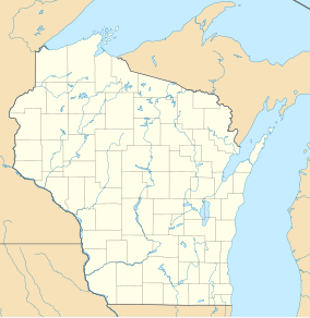
Avoca River-Bottom Prairie or Avoca Prairie and Savanna is an 1,885-acre (763 ha) prairie in Iowa County, Wisconsin just north of Avoca on the Wisconsin River. It is the largest intact prairie in Wisconsin and was designated a state natural area in 1968 and a National Natural Landmark in 1980.[1][2]
References
[edit]- ^ "Avoca River-Bottom Prairie". National Park Service. Retrieved 2012-01-19.
- ^ "Avoca Prairie and Savanna (No. 68)". Wisconsin Department of Natural Resources.
External links
[edit]
This article about a location in Grant County, Wisconsin is a stub. You can help Wikipedia by expanding it. |

