Carrick Heaths
Appearance
| Site of Special Scientific Interest | |
| Location | Cornwall |
|---|---|
| Grid reference | SW800490 |
| Coordinates | 50°18′01″N 5°05′24″W / 50.3003°N 5.0899°W |
| Interest | Biological |
| Area | 42.7 hectares (0.427 km2; 0.165 sq mi) |
| Notification | 1973 |
| Natural England website | |
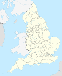
Carrick Heaths is a Site of Special Scientific Interest (SSSI), noted for its biological characteristics, in mid Cornwall, England, UK. It incorporates the old Silverwell Moor SSSI. Within the site the Red Data Book listed barn owl can be found.[1]
Geography
[edit]The SSSI comprises ten individual sites, spread over a 12 kilometres (7.5 mi) radius around the city of Truro, totalling an area of 42.7 hectares (106 acres). These are located at the OS grid references:[1]
| Site | OS grid reference |
|---|---|
| 1 | SW711462 |
| 2 | SW748482 |
| 3 | SW755456 |
| 4 | SW788501 |
| 5 | SW803473 |
| 6 | SW729478 |
| 7 | SW752463 |
| 8 | SW791514 |
| 9 | SW796489 |
| 10 | SW852535 |
References
[edit]- ^ a b "Carrick Heaths" (PDF). Natural England. 1999. Archived from the original (PDF) on 24 October 2012. Retrieved 23 November 2011.


