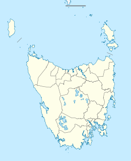
Craggy Island (Tasmania)
Appearance
| Geography | |
|---|---|
| Location | Bass Strait |
| Coordinates | 39°41′14″S 147°40′41″E / 39.68722°S 147.67806°E |
| Archipelago | Bass Pyramid Group |
| Area | 39 ha (96 acres) |
| Administration | |
Australia | |
| State | Tasmania |
Craggy Island is a rugged granite island, with an area of 38.88 ha, in south-eastern Australia. It is part of Tasmania’s Bass Pyramid Group lying in northern Bass Strait between Flinders Island and the Kent Group.
History
[edit]Robinson reports there was a sealing camp on the island in 1831.[1]
Fauna
[edit]Recorded breeding seabird and wader species include little penguin, short-tailed shearwater, fairy prion, common diving-petrel, Pacific gull and sooty oystercatcher. The metallic skink is present.[2]
See also
[edit]References
[edit]- ^ Parry Kostoglou, Sealing in Tasmania historical research project, Hobart, Tasmanian Parks and Wildlife Service, 1996, p.117.
- ^ Brothers, Nigel; Pemberton, David; Pryor, Helen; & Halley, Vanessa. (2001). Tasmania’s Offshore Islands: seabirds and other natural features. Tasmanian Museum and Art Gallery: Hobart. ISBN 0-7246-4816-X
External links
[edit]

