Frome Clay
Appearance
| Frome Clay | |
|---|---|
| Stratigraphic range: Bathonian ~ | |
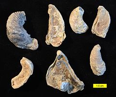
 Fossils from the Frome Clay | |
| Type | Formation |
| Unit of | Great Oolite Group |
| Underlies | Forest Marble Formation |
| Overlies | Fuller's Earth Formation |
| Thickness | 20–50 m (66–164 ft) in Wiltshire and Somerset 45–70 m (148–230 ft) in Dorset |
| Lithology | |
| Primary | Mudstone |
| Other | Limestone |
| Location | |
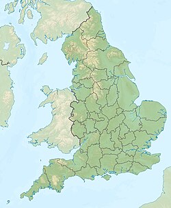
| Coordinates | 51°12′N 2°18′W / 51.2°N 2.3°W |
| Approximate paleocoordinates | 41°24′N 10°06′E / 41.4°N 10.1°E |
| Region | England |
| Country | |
The Frome Clay is a geological formation in England. It preserves fossils dating back to the Bathonian stage of the Middle Jurassic period.[1]
See also
[edit]References
[edit]- ^ British Geological Survey. "Frome Clay Formation". BGS Lexicon of Named Rock Units. Retrieved 31 December 2022.


