Megagle
Megagle
Meygaagle | |
|---|---|
Village | |
| Coordinates: 8°28′N 46°18′E / 8.467°N 46.300°E | |
| Country | |
| Region | Cayn |
| District | Buuhoodle |
| Time zone | UTC+3 (EAT) |
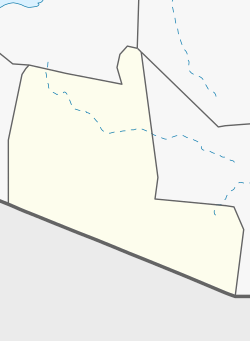
Megagle (Somali: Meygaagle) is a village in the Togdheer province of Somalia. It is located in Buuhoodle District, north by road from Buuhoodle and Sool Joogto on the Megagle Road.[1][2]
Demographics[edit]
The village of Megagle is inhabited primarily by the Dhulbahante tribe, with the Adan Ahmed sub-lineages belonging to the Ahmed Garad sub-section of the Farah Garad are well represented.[3]
Notes[edit]
See also[edit]
References[edit]
- ^ Google Maps (Map). Google.
- ^ Bing Maps (Map). Microsoft and Harris Corporation Earthstar Geographics LLC.
- ^ Media Inc., Buuhoodlenews (23 November 2010). "maygaagle gogoshii nabada". YouTube. Retrieved 21 May 2024.
External links[edit]


