Monte Curral
Appearance
| Monte Curral | |
|---|---|
 Monte Curral with the airport's control tower | |
| Highest point | |
| Elevation | 109 m (358 ft) |
| Listing | List of mountains in Cape Verde |
| Coordinates | 16°45′26″N 22°56′34″W / 16.75722°N 22.94278°W |
| Geography | |
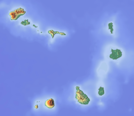
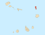
| Location | Espargos, northern Sal island |
| Geology | |
| Mountain type | Formation |
Monte Curral is a hill in the city of Espargos, on the island of Sal, Cape Verde. Its elevation is 109 meters. On the summit there is an air control tower for the nearby Amílcar Cabral International Airport, as well as several telecommunication masts.


