Rambla del Poyo
Appearance
You can help expand this article with text translated from the corresponding article in Spanish. (July 2010) Click [show] for important translation instructions.
|


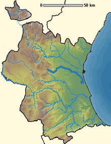
The Rambla del Poyo is a 41 km Rambla in the Province of Valencia, Spain.
It lies between the Turia and Júcar rivers, with its source in the mountains of the Parque Natural del Turia, and the mouth at the Albufera de Valencia by the Mediterranean Sea.
References
[edit]39°22′43″N 0°21′23″W / 39.3786°N 0.3564°W
