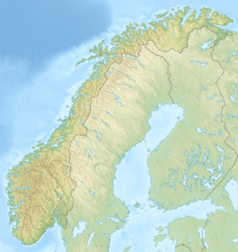
Søndre Folgefonna
Appearance
| Søndre Folgefonna | |
|---|---|
| Southern Folgefonna | |
 | |
| Location | Vestland, Norway |
| Coordinates | 60°00′N 06°20′E / 60.000°N 6.333°E |
| Area | 168 km2 (65 sq mi) |
| Highest elevation | 1,660 metres (5,450 ft) |
| Lowest elevation | 490 metres (1,610 ft) |
Søndre Folgefonna (English: Southern Folgefonna) is the third largest glacier in mainland Norway, and is the largest of the three glaciers constituting Folgefonna. The glacier is located at the base of the Folgefonna peninsula in Vestland county in the border of the municipalities of Ullensvang, Etne, and Kvinnherad. The highest point on the glacier is 1,660 m (5,446 ft) above sea level and its lowest point is 490 m (1,608 ft) above sea level.[1] The glacier is located inside Folgefonna National Park.
See also
[edit]References
[edit]- ^ Store norske leksikon. "Folgefonna" (in Norwegian). Retrieved 2014-06-12.


