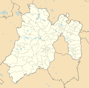
San Francisco Chimalpa
Appearance
San Francisco Chimalpa | |
|---|---|
 | |
| Coordinates: 19°26′31″N 99°20′31″W / 19.44194°N 99.34194°W | |
| Country | |
| State | Mexico |
| Municipality | Naucalpan |
| Elevation | 2,870 m (9,420 ft) |
| Population | |
• Total | 8,953 |
| Time zone | UTC-6 (Central Standard Time) |
| • Summer (DST) | UTC-5 (Central Daylight Time) |
San Francisco Chimalpa is a town located in the State of Mexico in Mexico. It belongs to the municipality of Naucalpan, having been one of the first towns in the municipality, where life already existed before the Tlatilco culture.
References
[edit]Wikimedia Commons has media related to San Francisco Chimalpa.
- ^ "Municipio: Naucalpan de Juárez". Cédulas de Información Municipal. SEDESOL. Retrieved 10 February 2016.
- ^ "Municipio de Naucalpan de Juárez". Catálogo de Localidades. SEDESOL. Retrieved 10 February 2016.

